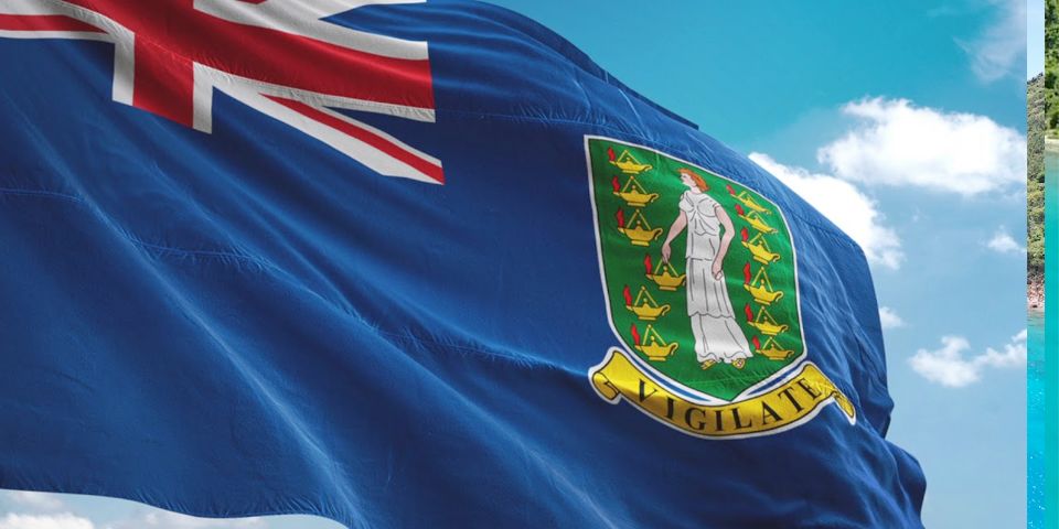


The British Virgin Islands Are Yours to Discover
Welcome to the breathtaking British Virgin Islands — an utterly incomparable escape.

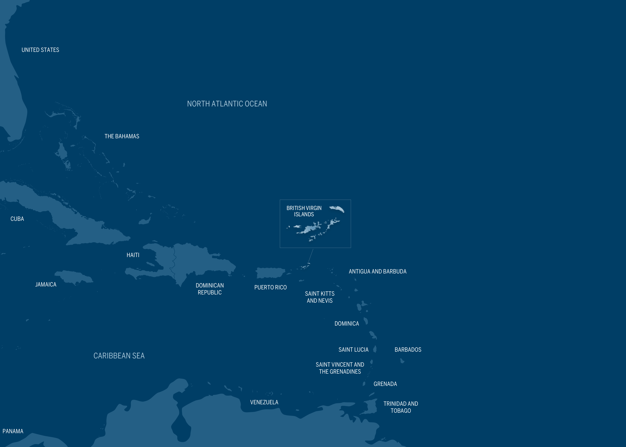
When you close your eyes and envision paradise, what do you see? Sapphire waters lapping against powdery white beaches? Lush stretches of verdant tropical vegetation stretching to the horizon? Endless warm sunshine giving way to stained-glass sunsets that paint the night sky with brilliant hues? These images aren’t just a dream here. They’re our way of life in the British Virgin Islands — a pristine archipelago of more than 50 discrete isles, comprising a cradle of Caribbean culture that’s unique in all the world. Drop anchor here and experience the magic.
Learn More about BVIThe British Virgin Islands have been a cultural nexus since time out of mind. Our ideal climate, enviable locale, endless beauty and rich history mean there’s never an empty events calendar. Regardless of when you choose to visit, this pristine tropical playground will always be brimming with excitement.
Margarita's all day
Full Moon Party every month
Participants of all skill levels are welcome
The Taste of Tortola is Back
Celebrate our maritime treasures this Special week with us here in the British Virgin Islands. Enjoy our amazing underwater wrecks, and art
Full Moon Party every month
Your visit to the British Virgin Islands is entirely what you choose to make it and anything you wish it to be. So if you have any questions regarding the possibilities represented by a BVI getaway, we’re available to assist you. We have the inside line on all of the essential local information, like hotels, restaurants, activities and much more. Feel free to reach out to us, and we’ll gladly answer any questions you may have regarding the logistics of spending time in our pristine piece of paradise.
Discovering the beauty of BVI is all about uncovering the unique character of each island in this unspoiled volcanic archipelago. Select one of our islands below to learn more about what each island has to offer.
.